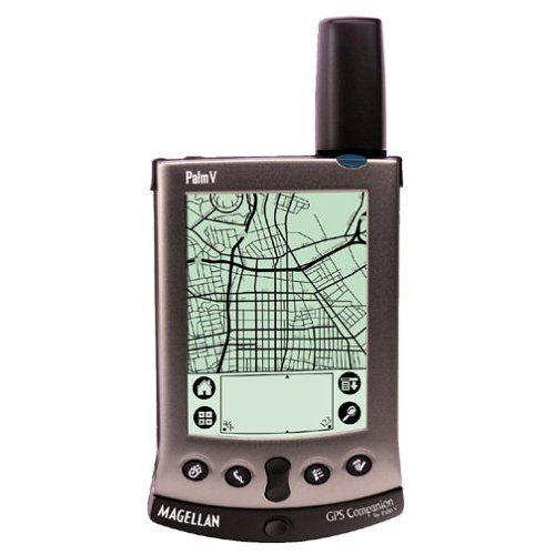
 I bought a cheap GPS on EBay. I got a Palm Vx with a Magellan GPS Companion attachment for ten dollars. By PDA standards the Palm Vx is completely obsolete, but it works fine as a GPS data logger.
The accuracy is pretty good. I don’t know how to measure it explicitly, but it usually matches Yahoo aerial photos and Google Earth within a few feet. That is for open skies, either from my jacket pocket while bicycle riding or on the dashboard of the car. Looking at my tracks in Google Earth, it does correctly match the parking space in which I parked the car at the shopping center. Scary.
It didn’t come with any software, so I’m using cotoGPS as the track logging software and converting it to GPX with gpsbabel.
It appears that all the Palm-related GPS or map commercial software companies are no longer selling the products now. I would like to find a map viewer that will work with it, but I don’t know what I will find at this point.
Still, as a simple data logger for 10 dollars, it is a fun toy.
Submitted by amillar on Tue, 2008-03-11 15:53